Geospatial Research & Consultation Bureau

Empowering enterprises and Researchers with innovative geospatial solutions for sustainable development.

Environmental management and pollution control services.

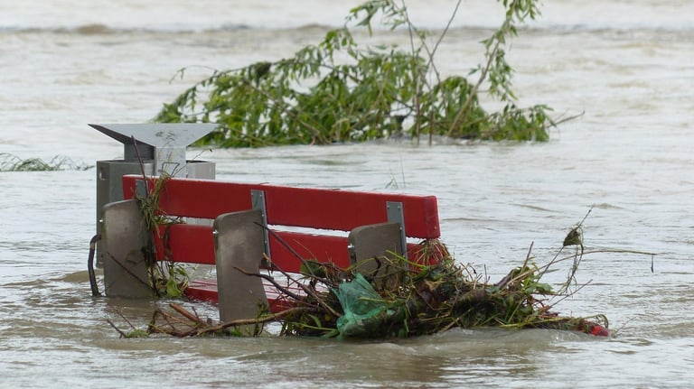
Natural disaster management and climate adaptation.

Urban planning and terrain modeling expertise.

Earth observation with Space borne Satellites for Natural Disaster management and Climate Change Earth observation with Space borne Satellites for Natural Disaster management and Climate Change

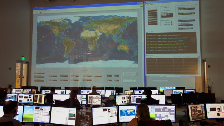
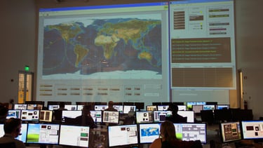
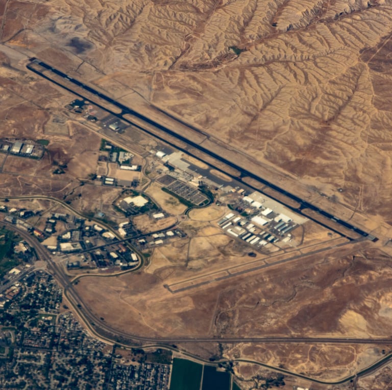
Earth observation with Spaceborne Satellites for Natural Disaster management.

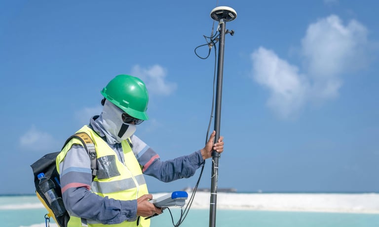
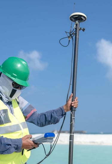
Topographic Surveys for Roads project and implantation of Engineering Surveys.

Terrain modelling for Earth work projects

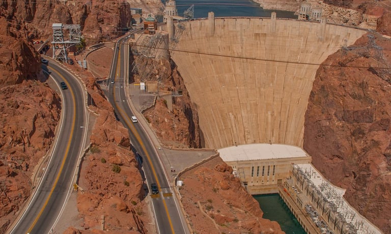
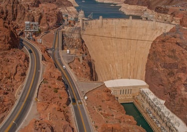
Water Resource and Transportation Engineering.

Statistical and Data Analysis for data cleaning visualization, interpretation, Computation, and modelling,
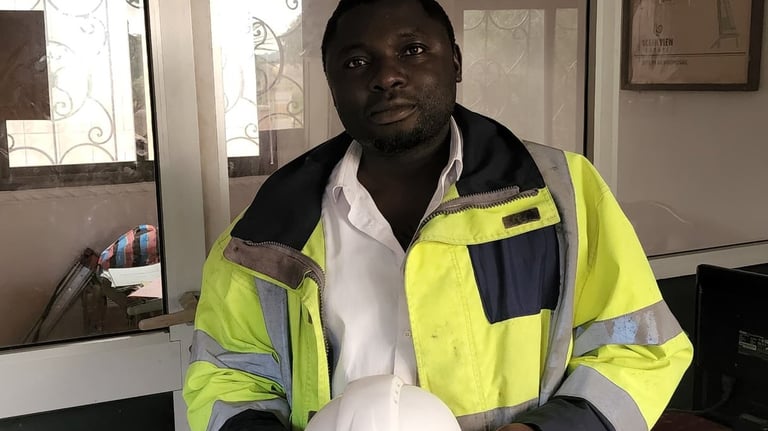
About Ageos Int

Your partner in geospatial research and consultation.

150+

15

Trusted by enterprises

and researchers

Our Services

Expert geospatial research and consultation for diverse environmental and engineering challenges.

Environmental Management

Comprehensive strategies for managing environmental resources and mitigating pollution impacts effectively.

Three men are working on a green field; one is operating a theodolite on a tripod, while the other two are kneeling on the grass, marking or measuring points. In the background, a small airplane is parked in front of a hangar, which has bold numbers painted on its roof. The sky is partly cloudy, and there is a tall communications or weather tower near the hangar.
Disaster Management

Proactive solutions for natural disaster preparedness, response, and recovery to safeguard communities.

Innovative approaches to urban planning and regional development for sustainable growth and infrastructure.

Urban Planning
Two people are sitting at a wooden table, engaging in a discussion. A laptop is open, displaying a statistical dashboard with charts and a world map. Several smartphones and notepads are scattered on the table. The focus is on the person's hand gesturing in conversation, indicating active engagement.
A map is spread out on sandy ground, surrounded by two people with hiking boots and one visible arm. The setting suggests planning or navigating during an outdoor adventure.

Join Our Geospatial Insights

Stay updated on geospatial research and solutions.

Ageos.int provided invaluable insights for our environmental management projects.

Meh Amstrong .N

An aerial view of a coastal area featuring a dark green water body on the left side and arid land formations on the right. The shoreline is irregular, with patches of vegetation and exposed earth. There are some rectangular plots of land, suggesting agriculture or construction, along with a few buildings present on the right.
A satellite is positioned over a coastal landscape, highlighting a stark contrast between the deep blue ocean and the arid, brown rocky terrain. The satellite features a large solar panel array and is centered in the image, capturing both natural and technological elements.

★★★★★