Geospatial Projects

Innovative solutions for environmental and urban challenges.
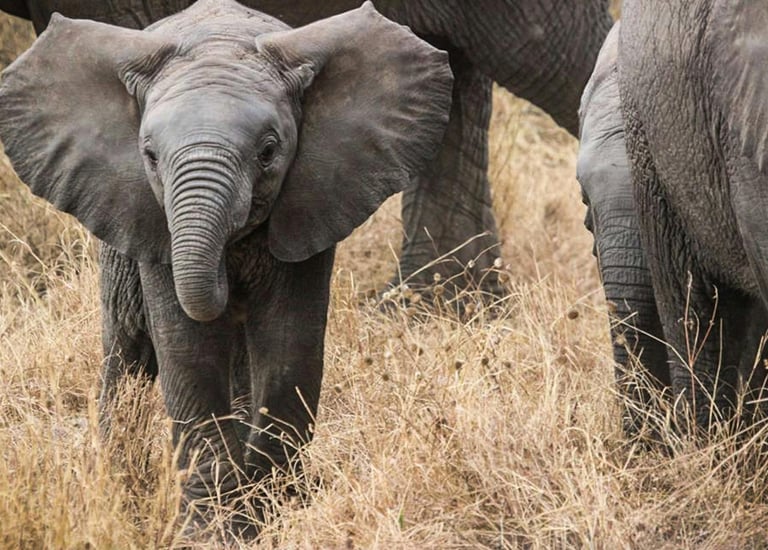
Biodiversity

Tracking monitoring and endanger species .
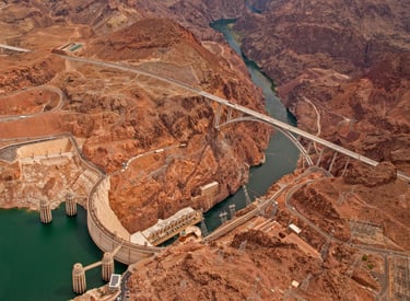
Disaster Response

Effective management of natural disaster impacts.

Several individuals are gathered, focusing on a map held by one person. The person holding the map is wearing a gray jacket and carrying a backpack, indicative of a hiking or outdoor setting.
A man in a green uniform stands next to an open-top safari vehicle in a vast, open landscape. He appears to be engaged in an activity or conversation, with his hands together.
Climate Studies

Research on climate change and its effects.

Urban Planning

Sustainable development for urban environments.

A person wearing a reflective safety vest stands outdoors on grassy terrain. They are holding equipment and seem engaged in some form of land survey work. Nearby, a tripod with a white circular device is set up, casting a shadow on the ground.

Projects

Exploring geospatial solutions for diverse environmental challenges.

A person is typing on a laptop with a presentation slide showing a wildlife theme on the screen. Nearby, a smartphone and a planner with notes are placed on the desk. The setting suggests a work or study environment, with a pen placed beside the laptop.
A person is sitting at a desk and looking at a computer screen displaying a red architectural design. Next to it, a laptop shows a mind map. The setting appears to be an office or workspace with a focus on creative tasks.
An aerial view of a coastal area featuring rocky outcrops and green vegetation. The land is intersected by winding paths, leading to a small building near the shore. The shoreline consists of a mix of rocks and sandy patches, with the ocean displaying shades of blue and turquoise.
An aerial view of a coastal area featuring a winding road separating a densely forested hillside and a calm turquoise body of water. Residential buildings and green spaces are visible on the land side, with a clear divide between the urban area and the natural landscape.
A spherical aerial view of a landscape featuring roads, greenery, and buildings, creating a planet-like effect. The central area is densely covered with forest, surrounded by winding roads and some residential and commercial buildings.

Our Locations

We provide geospatial research and consultation services across various regions, focusing on environmental management, Public Health, urban planning and Civil Engineering Projects.

Contact

Savoy Palmz Street, SouthWest Region, Limbe

Hours

9 AM - 6 PM